|
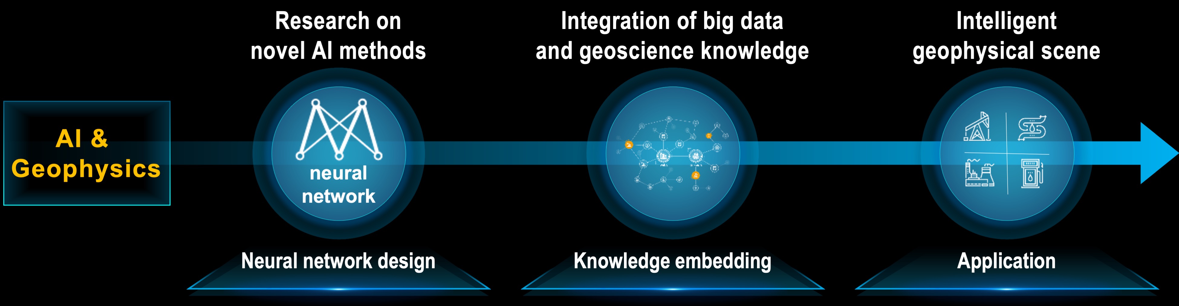
Initially founded for seismic interpretation, CIG has expanded its scope to include computer-assisted processing and interpretation of datasets
across diverse fields such as exploration geophysics, well-logging, seismology, planetary science, and oceanography.
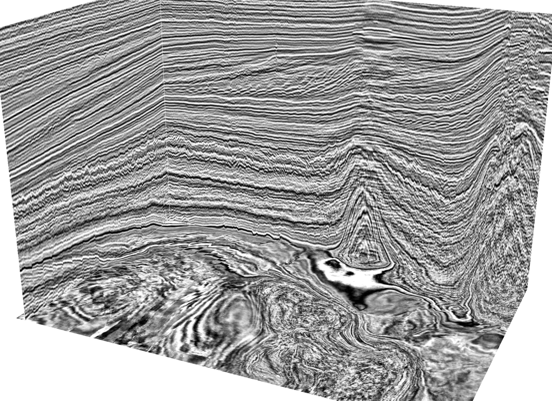
For instance (left), we developed
softwares
that efficiently and accurately interpret critical geologic features of faults, unconformities, horizons, geobodies, and facies in 3D seismic volumes.
We further used these features, combined with well-log properties, domain knowledge, and human interactions, to build subsurface models.
|